Evidence
The Evidence section is the farm's photo gallery, each picture carrying its GPS location. It works as auditable proof that the work was done in the right plot on the right date: a chain of custody for the supervisor and the owner.
The gallery
Each photo shows:
- GPS confirmed — the photo carries valid coordinates.
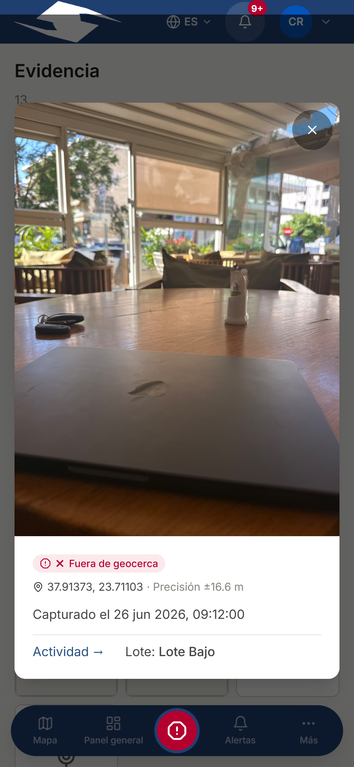
- Within geofence or Outside geofence — whether the point falls inside the assigned plot's polygon.
- Accuracy ±N m — the location's margin of error.
- The date it was captured (Captured on …).
The geofence check
The geofence indicator is the heart of the proof:
- Green (Within geofence) — the photo was taken inside the plot it belonged to. All good.
- Red (Outside geofence) — the photo was taken outside the plot's polygon. A flag to look into what happened.
Why it matters
By tying every photo to a plot and a time, the farm has objective proof of the work, without having to rely on the word of whoever reports it.
Viewing a photo in detail
Tap any thumbnail to open it large. You'll see its location, its accuracy, the capture date, and a direct link to the activity that produced it.
Uploading evidence
- Tap Upload evidence.
- Choose the Photo: JPG, PNG, or WebP formats, max 10 MB, minimum 800×600 px.
- Add Notes (optional) if you want to leave a comment.
- Confirm the GPS location:
- The app tries to detect it on its own (Detecting GPS… → GPS detected).
- If GPS is denied, enter it by hand: Latitude, Longitude, and Accuracy (m).
- Tap Upload.
GPS is required
Without a location the photo can't be uploaded: the app will ask for GPS required. Enable location or enter it manually.
See also Map, Activities, and Running tasks.